This area is a gem. It encompasses the district around Powell River and Texada Island (qathet, meaning "working together" in Tla'amin Nation Comox) to most of Howe Sound (
Atl'ka7tsem, meaning "padding north" in Squamish) and each mountainous inlet and cozy town in between. Despite its proximity to Vancouver, it retains a natural, wild feeling thanks to the joint efforts between First Nations communities and the government to preserve the land. We love it here.
Note: We're now trying to add more Indigenous place names to our posts because local First Nations communities have worked hard to preserve or reestablish them. Language is powerful, and its use can either include or exclude people. Dave's sister Cailin, a UBC graduate student, studies Indigenous languages and helps us patiently pronounce the names. We're not very far along, so we sound like a couple of white fools...which is not new.
Si' yi yen to the Tla'amin Nation / Texada Island
 |
| Anchored in Marble Cove |
 |
| At high tide, rowing to shore through the windy, narrow mudflats at the head of the bay. |
 |
The most pleasant surprise ever! Walking on old, abandoned logging roads, all of a sudden, we stumbled on gnome homes! What?! Did we somehow enter a fairyland realm?
Just a few of the several gnome homes we saw on our hike:
|
Where did this wonderland come from?! Who made these?! Who maintains them after storms? In a somewhat infrequently traveled place, who else gets to see them? After a cursory web search produced no origin story, I'm pretty convinced actual gnomes built them.
 |
| Another enchanting find in Marble Bay |
Harmony Islands
 |
| Heading into xenichen / Jervis Inlet |
 |
| Freil Waterfall |
 |
| Filtering water |
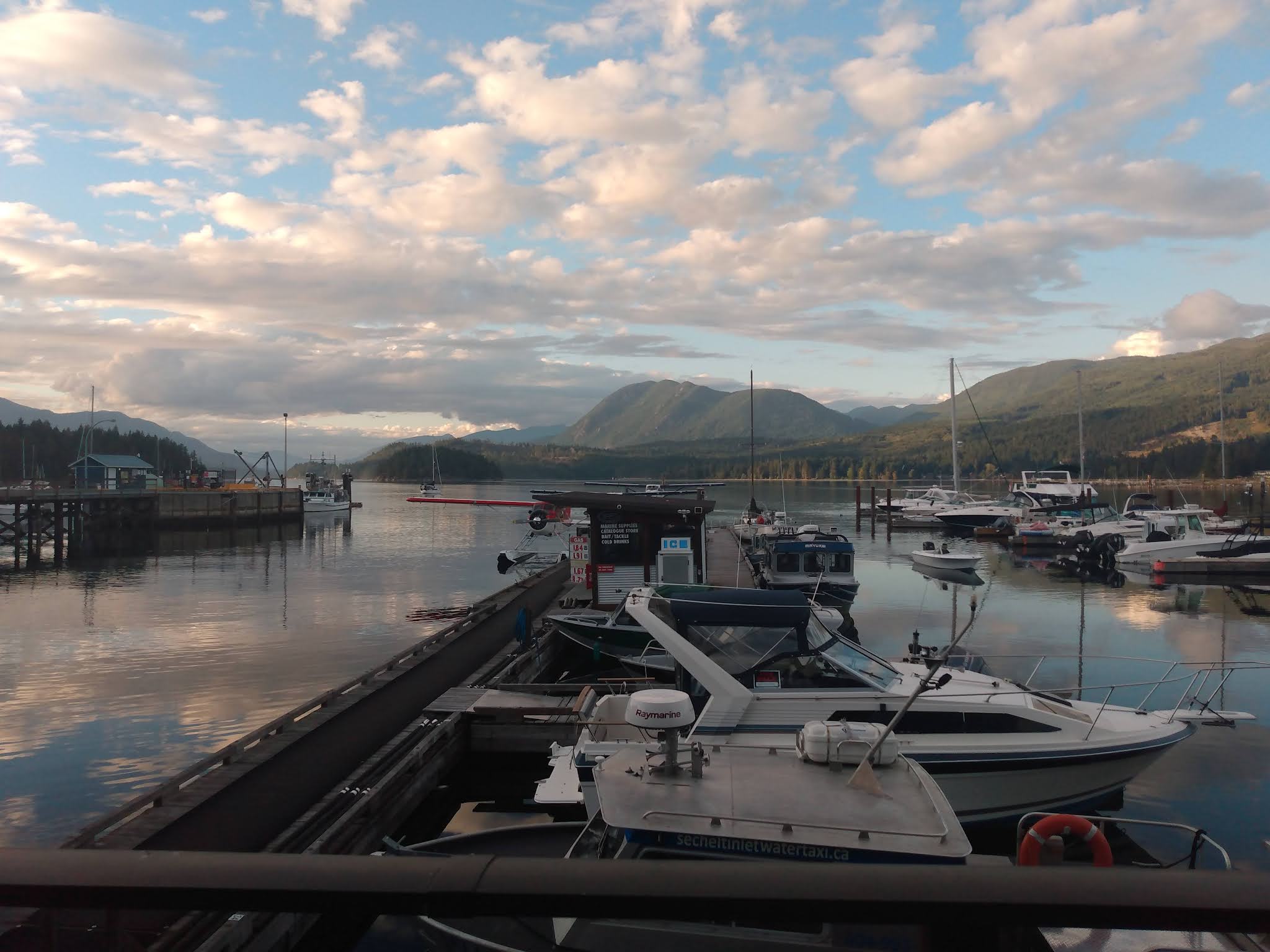
cha'tlich / Sechelt
The rapids into Sechelt are called Skoomkumchuck Narrows. In
Chinook Jargon, skookum = strong, powerful; chuk = water. Unlike other rapids in BC, the water is always moving and the term "slack" is relative. It's difficult but not impossible to enter, as long as you use your engine and time it with the calmest slack of the day.
Once through, the inlet locals call the "inland sea" winds down through endless mountains and branches off into other equally tempting inlets before ending in Sechelt, a town we chose to anchor near for several days.
We couldn't go to the Sunshine Coast without traveling up Jervis Inlet to Princess Louisa Inlet. It would be sacrilegious. One of our favorite places on the BC coast, Princess Louisa competes with fjords much further north. Winds barrel down the cliff rocks, so on most days, one can sail Jervis' full 40 miles.
 |
| Malibu Rapids, the gateway to Princess Louisa Inlet |
Once inside Malibu Rapids, the peaks rise dramatically, harps start playing, and you realize you are no longer simply cruising along, but bringing the one ring to the elves at Rivendell. It's important, and you cannot fail.
 |
| Chatterbox Falls |
 |
| A bewildered denise for scale |
 |
| Then the rains started. The falls sprayed sideways all the next day. |
 |
Dave, collecting some of that sideways water to drink
|
 |
Our more efficient rainwater collection system: water runs off low spots on our bimini into
collapsible buckets... |
 |
| And we scoop it out quart by quart and pour it into a filter above our tanks; we collected several gallons in just a couple hours. |
 |
| We're not sure we agree with the "sunny and warm" description. |
Thanks to James F. MacDonald, the inlet (except for the children's camp at the head) remains undeveloped, unlogged, and protected. He bought land here in 1927 and devoted his life to ensuring it remained protected and accessible to all.
He remarked, “It is Yosemite Valley, the fjords of Norway and many other places all wrought into the background of our conifer forests of the Pacific Northwest.”
Additionally, in the 1920s and 1930s, M. "Capi" Wylie Blanchet, an engine mechanic, boater, and badass single mother would often take her children in their 25 ft. boat up here. They would normally be alone, except for MacDonald, the occasional members of the shíshálh Nation, and several black bears.
Blanchet believed the falls were alive and wrote about her deep respect for them in her book,
The Curve of Time: "That waterfall can laugh and talk, sing and lull you to sleep. But it can also moan and sob, fill you with awful apprehensions of you don't know what."
 |
| Moonscapes between the trees as the falls lull and moan |
 |
Chatterbox falls is no joke.
In fact, we skipped the climb to the trappers cabin this year because it wasn't safe in the rain.
|
 |
The way back, tacking back and forth to Agamemnon Channel, now known to us as
the "day of 50 tacks." But still, yay wind! |
Next up: Sunshine Coast Part 2: from Pender Harbour to Vancouver.


Beautiful pictures and great writing. Interesting to learn about the places and the indigenous names and history.
ReplyDeleteAww, thanks Kellan :)
ReplyDelete